Q3 2025
Sediment Load Trends Post-Monsoon
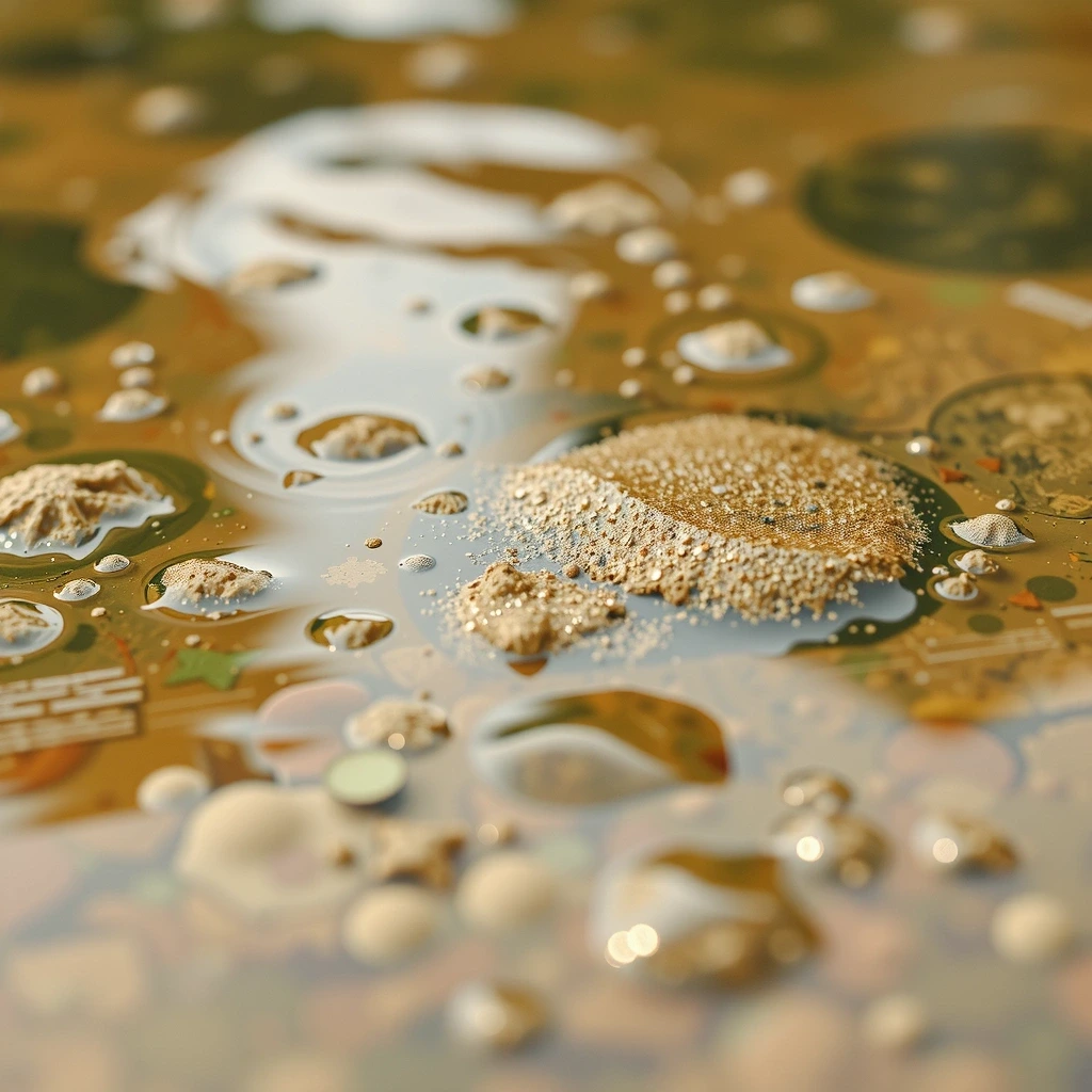
A longitudinal study analyzing sediment accumulation in the Varanasi stretch over the last 8 years, correlating discharge rates with upstream agricultural activity.
Hydrology
Access the definitive repository of analytical findings, white papers, and field reports generated by our Varanasi-based team. This is the source material for policy decisions, academic research, and environmental strategy concerning the Ganga river basin.
Choosing the right analytical framework depends on your operational horizon and risk tolerance. We categorize our insights into three distinct streams, each serving a specific strategic function. Understanding these trade-offs allows stakeholders to align data consumption with actionable outcomes.
High-level sediment transport and water quality projections for infrastructure planning.
Seasonal monsoon impact assessments and localized catchment health reports.
Daily discharge rates and turbidity readings for immediate field adjustments.
Composite index scores derived from satellite & ground validation.
A longitudinal study analyzing sediment accumulation in the Varanasi stretch over the last 8 years, correlating discharge rates with upstream agricultural activity.

Mapping the encroachment of saline water into the alluvial aquifers of the lower basin. Implications for irrigation and potability.

Quantifying the pollutant load from stormwater drains entering the main channel during peak tourism seasons.
We translate complex hydrological parameters into intuitive visual signatures. Hover or tap the tiles to understand the core variables driving our models.
Total Suspended Solids

Water Content Index

Catchment Quality
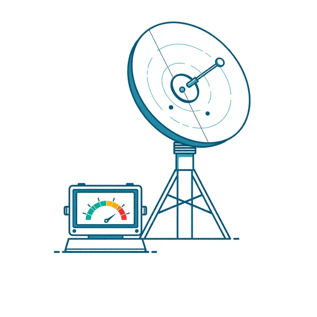
Predictive Model
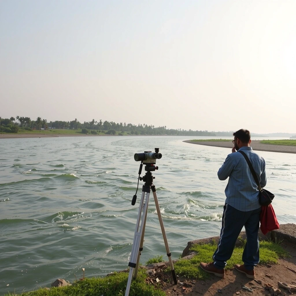
Raw data lacks the scent of wet earth or the sound of the current. Our field teams in Varanasi validate satellite imagery with direct observation. These notes bridge the gap between pixel values and the lived reality of the river.
"Correlating the spectral signature of algae blooms with the visual greening of the water near Shivala Ghat remains the most reliable validation technique."
Active surveillance of key tributaries feeding the main stem.
Continuous data stream since 2016, enabling longitudinal studies.
Cited in U.P. State Water Resource drafts (2023-2025).
Our team produces bespoke reports for specific stakeholder requirements. Connect with our Varanasi office to discuss data needs.